Microsoft Flight Simulator GPS Map – Features and Navigation Guide:
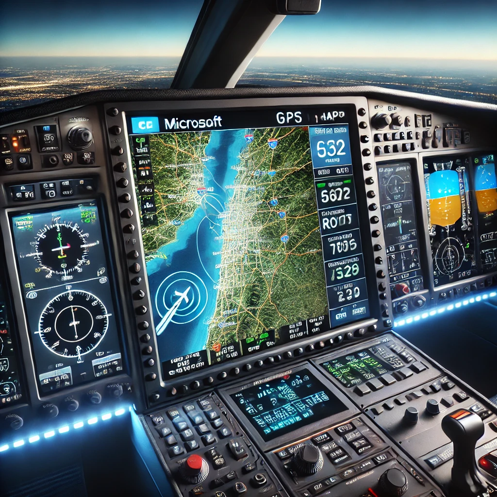
For decades, Microsoft Flight Simulator (MSFS) has captivated aviation enthusiasts, evolving from a simple program to a breathtakingly realistic experience. It’s not just a game—it’s your gateway to the skies, offering the thrill of flight from the comfort of your desk. From its humble beginnings to today’s visually stunning and incredibly detailed simulator, MSFS has become an emblem of what virtual flying is all about.
Among MSFS’s standout features, GPS navigation shines as a game-changer. Think of it as your digital co-pilot, guiding you through the virtual skies, delivering vital flight data, and offering a playground to refine real-world navigation skills. Click here to learn more about how GPS is used in aviation.
The magic of MSFS lies in its ability to make everything feel real. Whether you’re a newbie wanting to explore the skies or a seasoned pilot looking to sharpen your skills, the GPS in Microsoft Flight Simulator can do wonders for your virtual flying journey. It helps in planning, navigating, and even mimicking real-world flying challenges. Prepare for a trip where you learn more than just what buttons to push.
Understanding the GPS Map in Microsoft Flight Simulator:
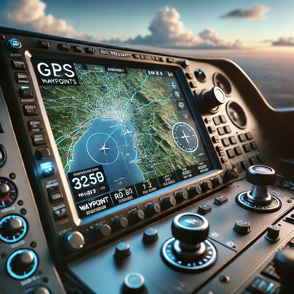
GPS in Microsoft Flight Simulator isn’t one-size-fits-all. The sim offers a range of GPS models, each with its quirks and features, aimed at elevating your navigation game. Whether you’re using a more basic setup like the Garmin 1000 or other sophisticated models, knowing these can enrich your flying experience, find out more about Garmin GPS systems to understand their real-world inspiration and features. Explore the Garmin 1000 features here.
Each GPS model in MSFS serves certain core functions that are crucial for every virtual pilot. You get routing to guide your path, tracking to show where you’ve been, and terrain awareness to make sure you’re clear of any obstacles. These help not just in reaching your destination but in tackling the little surprises that aviation likes to toss your way.
Mastering the GPS map functionalities is where the real fun begins. Imagine setting up the perfect route with pinpoint accuracy or playing around with routing options that mirror real-world possibilities. Investing some time to familiarize yourself with these tools can make flying not only more efficient but thrilling. It’s about getting the most out of the MSFS’s brainy co-pilot.
Beginner’s Guide: Navigating the Skies Using GPS:
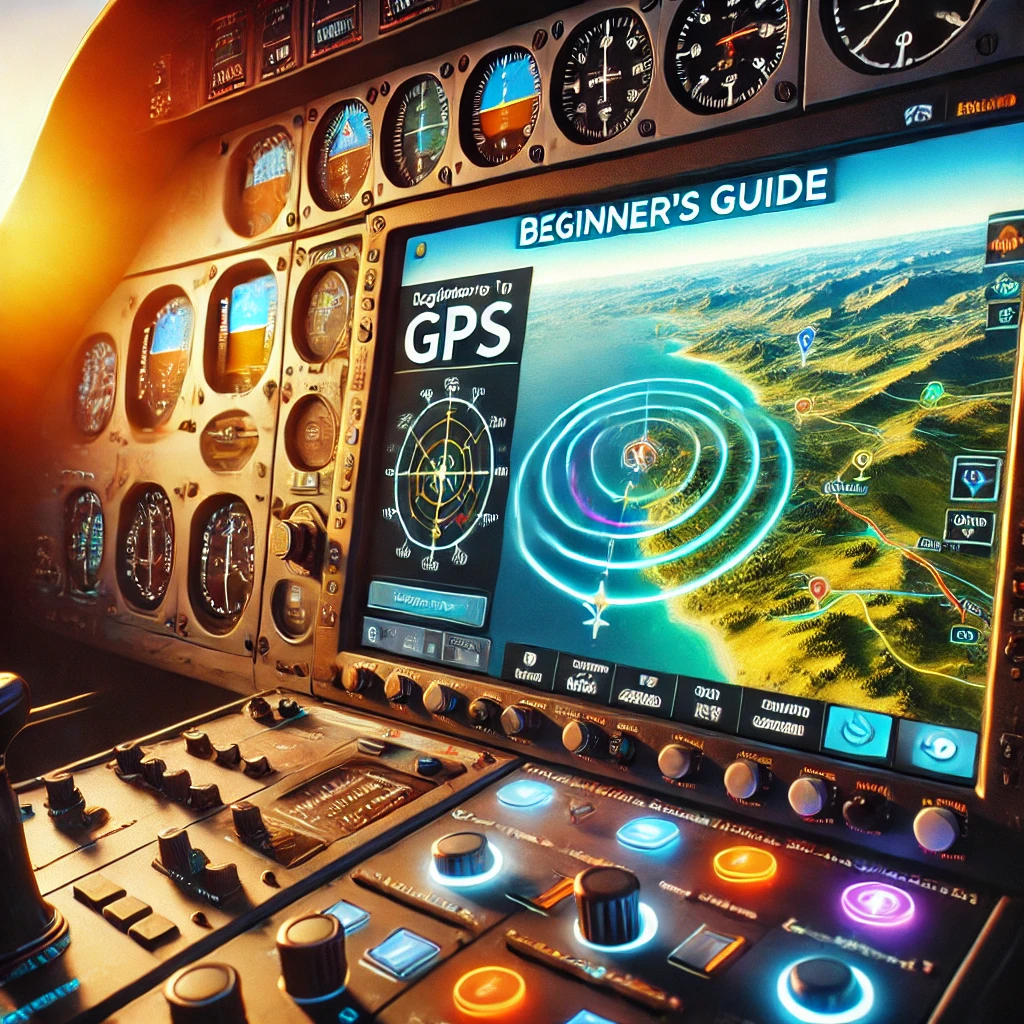
Starting your GPS journey in MSFS might feel daunting, but it’s a rewarding adventure. Begin by selecting your departure and arrival airports in the flight planner—an intuitive process that simplifies even the most complex routes. Learn more about flight planning basics here.
Getting familiar with key terms, like waypoints and routes, is crucial. Waypoints act as your virtual signposts in the sky, while routes help you stitch these points together. Understanding these concepts will give your virtual flights structure and purpose.
New pilots often stumble over similar hurdles, like accidentally skipping a waypoint or misreading the map. Don’t rush things. Take your time to set up the initial flight plan correctly, and double-check your GPS displays. It’s all about practice, and every flight is a chance to get better and more confident with using these tools.
Advanced Techniques: Mastering Your Virtual Cockpit:
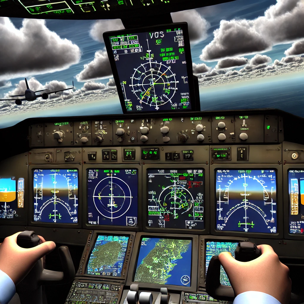
After mastering the basics, it’s time to take your virtual cockpit skills to the next level. Integrating GPS with advanced tools like VOR and ILS not only elevates your simulation game but also replicates the challenges faced by real pilots.
When you end up flying the same routes regularly, customizing and storing flight plans can save you time and keep things efficient. MSFS allows you to tweak and save these plans, transforming repetitive tasks into a streamlined process. It’s like having a tailored toolkit at your disposal.
Delving into advanced GPS settings can significantly sharpen your skills. Experiment with Direct Routing for shortcuts when necessary, use the Nearest Function to find airports quickly, or keep an eye on Track Monitoring for precise navigation. These features make flying engaging and a bit like unfolding a new layer of the game each time you take off.
Troubleshooting Common GPS Mapping Issues:
Encountering GPS issues in MSFS can disrupt your experience, but solutions are often straightforward. Whether it’s adjusting realism settings or refining your flight plan, most hiccups are opportunities to deepen your understanding of aviation’s complexities. Check out this troubleshooting guide for simulator performance issues.
Understanding how GPS errors are handled in-game versus real-world aviation can shed light on potential issues. Sometimes, what seems like a GPS glitch is just the simulator mimicking real-world complexities and challenges, like signal loss or interference.
To ensure a smooth GPS experience, regular sim updates are a must. They can fix known bugs and improve performance. Adjusting your in-game settings to better suit your hardware can also prevent lag and enhance responsiveness. Dive into forums and community discussions for solutions too, as other users’ experiences often lead to hidden fixes and tips. Dive into forums and community discussions for solutions too, as other users’ experiences often lead to hidden fixes and tips.
The Future of Simulated Aviation: Innovations Beyond GPS:

The horizon of MSFS is ever-expanding, with innovations poised to redefine virtual aviation. From real-time satellite data to AI-driven flight planning, the future of simulated flight promises unparalleled realism and engagement. Discover how satellite data is transforming aviation technology.
Real-time satellite data integration is on the horizon. This could mean flight conditions matching current real-world weather and terrain changes, adding a layer of authenticity that we’ve only dreamed about. Imagine seeing the world through a pilot’s eyes, updated in real-time with the ground reality.
User feedback has been a powerful engine driving these innovations. Developers and community members working together have fueled ideas that shape next-gen simulators. The symbiotic relationship ensures that future updates and versions become better, smarter, and user-centric.
Future GPS enhancements might include more interactive interfaces, AI-driven recommendations for flight routes, and even virtual reality integration to provide an even richer cockpit experience. All these advancements point towards an evolving simulator landscape, taking us closer to piloting reality from the safety of our homes.

Global Positioning Systems is one of the greatest ways to have our specific location where ever we re in the world. It is awesome to be able to just have a receiver and know our position without having to link to a base. I have also been reading about GNSS that is the combination of GPS (US), GLONASS (Rusia) and Galileo (Europe). China has also hopped in this bus with BeiDou.
Thanks for the comment. Before GPS was invented only paper maps were used even in aircraft. The technology of GPS made it easier to find where you are and to plan routes.
Hi Mohamed thank you for sharing this interesting article. I find it very well informed and well-described regarding what Microsoft Flight Simulator GPS offers. I’ve also read about other online simulators programs as GNSS which helps pilots in their flights. I believe this is quite something and every single plane should have. Overall I like the topic with such information for everyone to understand. Thank you.
Thank you for your nice comment. The GPS that come with Flight Simulator program is more detail than the navigation map in aircraft because on the GPS screen you can see the earth while flying.
Thanks for the GPS technology tutorial! Gone were the days when paper maps were used even for an aircraft that missed its route. With the new innovations that are now springing up by the day, the world would turn into a better place to live. The new aircraft technology you discussed will help the world in many ways. Thanks for educating us on Microsoft Flight Simulator GPS!
You are welcome. GPS helps in navigation and even smart phones and iPad have google maps connected to a satellite.
The Microsoft Flight Simulator GPS is a great way to learn how to fly more accurately. Learning the basics of navigating with a plane can be difficult, but it’s not impossible. With some practice and guidance from this article, you will soon have an easier time flying your own aircraft confidently! What are some ways that you found helpful in learning about planes?
Using controllers like throttle, flap, speedbrake, radio communication but there is a lot more.
I have been fascinated with flight simulators over the years because of getting that feeling of being in the cockpit and flying a jet this is just really amazing. This is a great way to test your flying skills in a safe way. I know of someone who has a flight simulator and used it a whole lot seems. He went to flight school however and is now a pilot and doing well for himself when it comes to flying planes. Thanks so much for sharing.
You are welcome. It is good to use flight simulator to feel the experience of real aircraft.
A GPS has made our life so much easier. Remember back in the how people use to use paper maps. I would have struggled big time. Thank God for technology haha. I will be sure to share this article with friends and family as I found this article really interesting so thank you for this
Thanks for the feedback. Without gps it will be difficult to find locations.
Your conclusion said it all for me. Generally things come easy for me and I don’t really have to go thru things step-by-step. But with software like the Microsoft Flight Simulator I do. I just started, and boy do I feel in over my head right now LOL. But I am going to keep at it like you say, and eventually I will wonder why I ever struggled. That is my hope anyway!
Thanks for the feedback and reading my comment.